Shawsheen River
Watershed-Based Plan
In 2024, we worked with the Merrimack Valley Planning Commission and the municipalities of Lawrence, North Andover, Andover, and Tewksbury to develop a watershed-based plan for the Lower Shawsheen Watershed, from the river’s confluence with the Merrimack through Tewksbury. This work was funded in part by the US Environmental Protection Agency’s STAR program and Massachusetts Bays National Estuary Partnership. For details of our funding partnership, see below.
What is a watershed-based plan?
A watershed-based plan is a plan that outlines water quality issues within a watershed and identifies solutions to improve those issues. Water quality issues could result from a range of pollutants, and the plan is specific to each watershed’s challenges and opportunities. By looking at the watershed as a whole, a holistic approach provides lasting solutions. Understanding how contaminants move through a watershed can help to target problematic or particularly vulnerable locations by understanding the source of pollutants, rather than only targeting where they arise in the river.
While watershed planning in general can mean many things, this project focuses specifically on non-point source pollution and will result in a Watershed-based Plan that includes 9 specific elements, as outlined by the EPA:
1. Identify causes and sources of pollution
2. Estimate pollutant loading into the watershed and the
expected load reductions
3. Describe management measures that will achieve load
reductions and targeted critical areas
4. Estimate amounts of technical and financial assistance and
the relevant authorities needed to implement the plan
5. Develop an information/education component
6. Develop a project schedule
7. Describe the interim, measurable milestones
8. Identify indicators to measure progress
9. Develop a monitoring component

How will this plan affect the shawsheen?
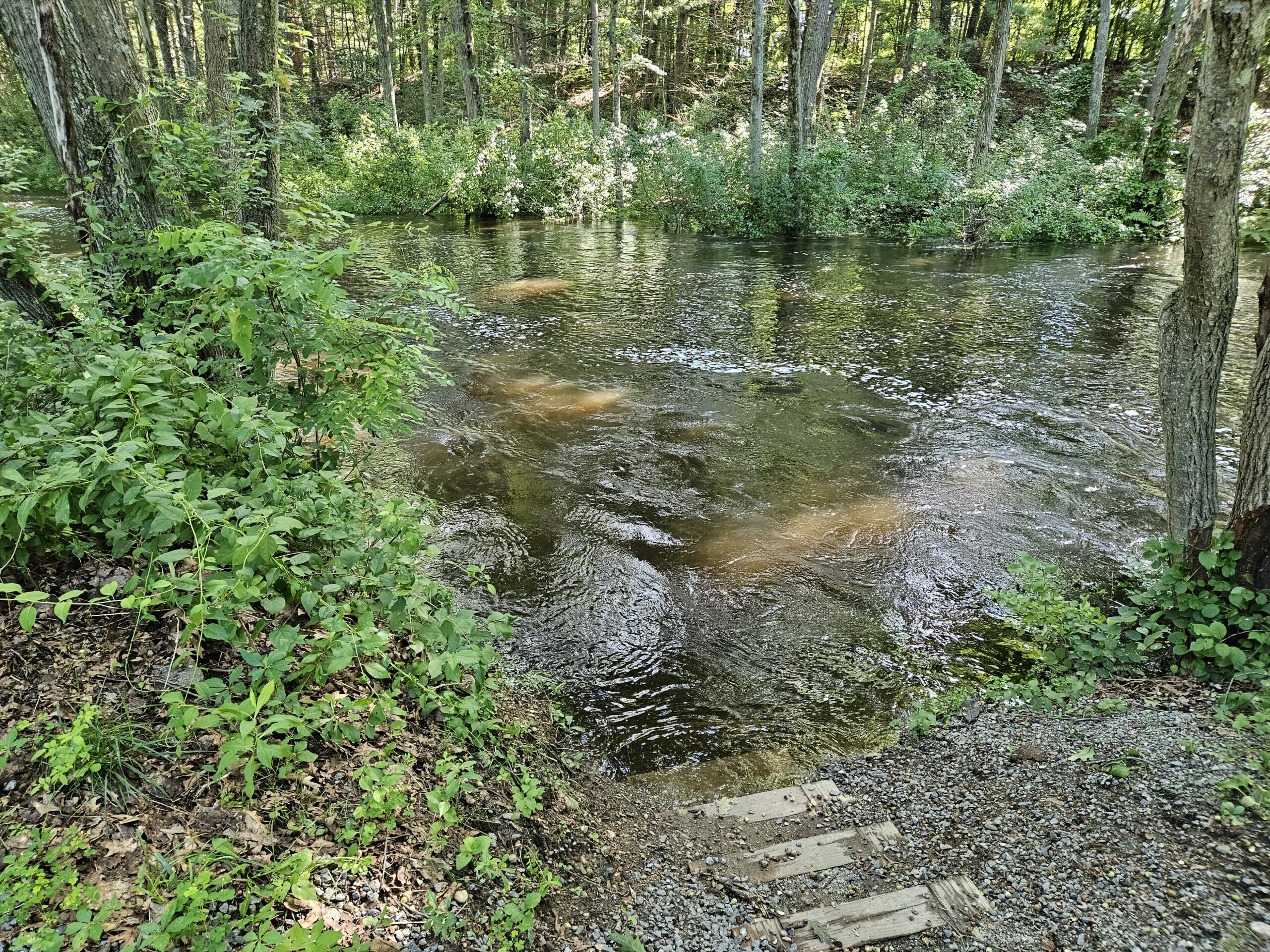
The Shawsheen River is a major environmental resource for Northeast Massachusetts and a major tributary of the Merrimack River. Its course runs through densely populated and rural areas. There are several large conserved areas along the river, and the towns and cities it runs through are working to improve the river’s conditions.
Despite the progress being made towards community goals for river restoration, urban habitat, and neighborhood revitalization, the Shawsheen River is considered an “impaired waterway”. This means that due to consistently poor water quality, the state of Massachusetts has designated the Shawsheen River as a waterway that needs improvement.
Some of the impairments the state identified for the Shawsheen River include habitat alterations, sedimentation, E. Coli and dewatering. E. Coli. makes the river unsafe for recreation at times, and high nutrients feed algae blooms and invasive species which cause problems for humans and wildlife alike. The watershed-based plan puts a special focus on nutrient pollutants that are likely sourced from non-point source pollution. This means that the pollutants are not sources from just one location or pipe. Rather, when it rains, stormwater carries these pollutants from different parts of the watershed to the river. The reccomendations at the end of the plan are stormwater improvements that can help prevent these nutrients from accumulating downstream, some of which were designed in greater detail- as seen in the “stormwater control measures” section below.
While impairments might seem discouraging, being listed as an impaired waterway is actually the first step to improving river health. It makes the river and watershed eligible for funds like those funding this work to make improvements. By developing the plan, the Lower Shawsheen River watershed then becomes eligible for additional funding to implement the solutions the plan outlines!
Stormwater Control Measures
In addition to producing a plan for improving the overall health of the Shawsheen River, three stormwater control measures were designed to reccomend targeted improvements to the health of the watershed. A stormwater control measure is an improvement, either a physical construction or a change in how people use or manage an area, that reduces the increased pollution and flooding caused by stormwater flowing over developed land. The three improvements designed are located at Costello Park in Lawrence and Andover High School.
Program funding
This project has also been supported in part by a grant from the U.S. Environmental Protection Agency’s Science to Achieve Results (STAR) program. Funding was provided through the Massachusetts Bays National Estuary Partnership using funds from EPA grant number 4T-00A01085-0.
This plan was developed under assistance agreement No. 00A01085-0 awarded by the U.S Environmental Protection Agency to Merrimack River Watershed Council. It has not been formally reviewed by EPA. The views expressed in this document are solely those of the preparers and do not necessarily reflect those of the Agency. EPA does not endorse any products or commercial services mentioned in this publication.


