Water Quality Monitoring
Our Program
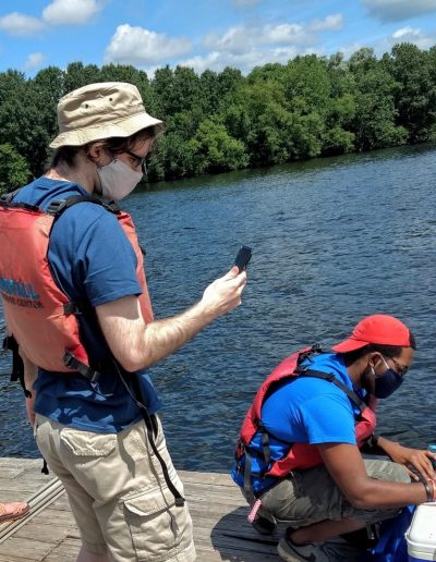
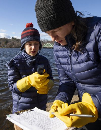
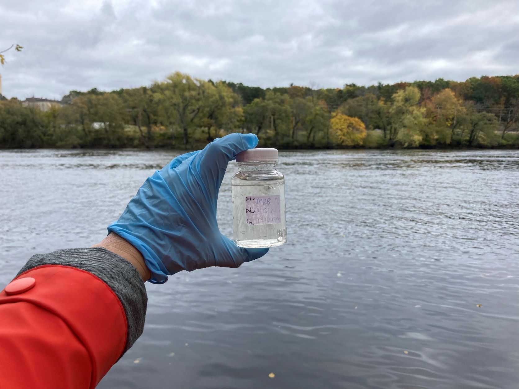
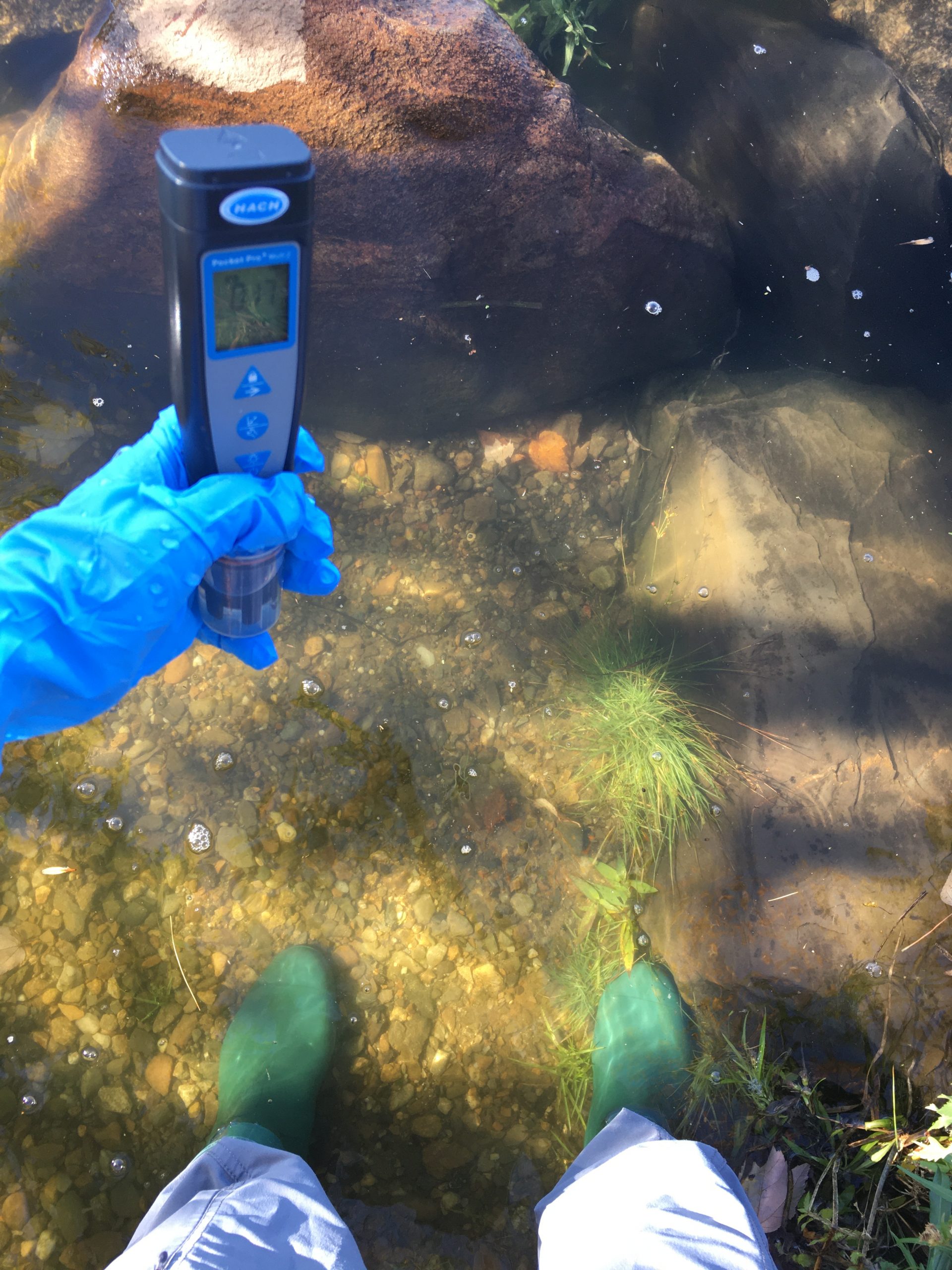
MRWC collects water quality data at sites along the main stem of the Merrimack River, from Manchester, NH to Newburyport and Salisbury, MA. MRWC staff and water quality monitoring volunteers collect data on fecal indicator bacteria concentrations as well as physical and chemical parameters in the river: pH, salinity, total dissolved solids, conductivity, temperature.
The term “fecal indicator bacteria” (FIB) refers to bacteria that “indicate” the presence of feces in the water. We measure two FIB in our program–Escherichia coli (or E. Coli.) and Enterococcus. Both of these bacteria are found in the intestines of warm-blooded animals (including humans and dogs). While neither FIB cause disease themselves, their presence suggests the water may be contaminated with feces and other disease-causing organisms like viruses and protozoa.
Why is this important?
We have found high concentrations of FIB at times in the Merrimack, suggesting fecal contamination levels that make recreational activities, such as swimming or boating, potentially unsafe. However, we know that conditions in the Merrimack are not unsafe all the time.
FIB are useful for monitoring programs because they can help us understand if the river is safe for recreation or not. Elevated concentrations of FIB in waterbodies polluted by human sewage are correlated with increased gastrointestinal illness among swimmers. Even though the FIB specifically don’t make people sick, this correlation means state and federal authorities can develop water quality guidelines based on FIB concentrations. We use those guidelines in our program to categorize the bacteria concentrations we measure as “safe” or “unsafe” for recreation.
In the Merrimack, there is still a major gap in understanding exactly when, where, and for how long the river is unsafe to use after large contributions of fecal contamination to the river. The river monitoring program at MRWC aims to fill in that gap in understanding. By collecting data consistently and continuously, we can better understand how changing environmental conditions and increasing human impacts affect the water quality of the Merrimack River. We can then use these data to advocate for the right solutions to make improvements.
Funding for water quality monitoring is provided by Massachusetts Bays National Estuary Partnership, under EPA grant number 00A01085-0.
How is the Merrimack Doing?
Explore our interactive dashboards to learn about water quality in the Merrimack from data collected since 2021
Learn more about our findings
Each year we develop a full detailed report about our program and an explanation of how we interpret the data.
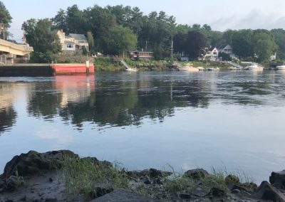
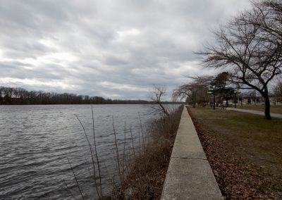
Photo: MRWC
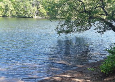
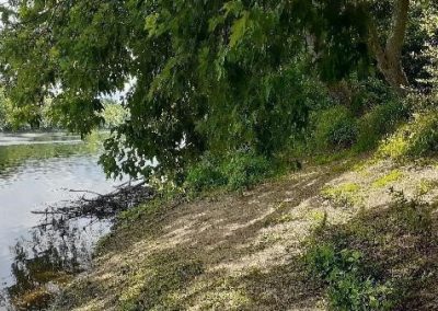
Photo: Kate Delaney
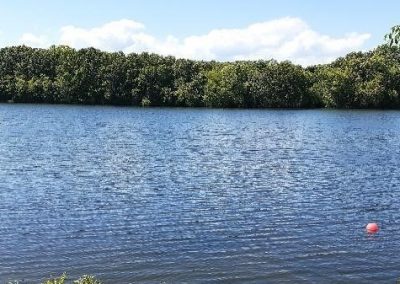
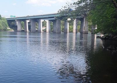
Photo: MRWC
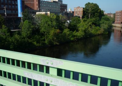
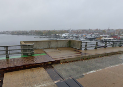
Photo: Winslow Townson
Volunteer Powered
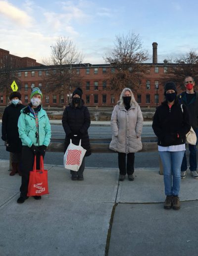
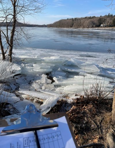
Our program runs on the time, energy, enthusiasm and dedication of our volunteers! MRWC volunteer community scientists collect all of the water quality monitoring data. They visit their assigned sites, rain or shine, winter and summer to ensure that we can understand what’s happening in the Merrimack. This program would not exist without them!
We accept new volunteers in December and June each year. Subscribe to our newsletter so you are the first to hear about sign ups and email volunteer@merrimack.org if you have any questions.
Volunteer Resources
- MRWC Sampling Manual – Updated 3.16.22
- Hatch Pocket Pro Multi+ Tester Users Manual
- Water Quality Monitoring Field Datasheet
Videos of sampling procedures:
- How to calibrate the Hach Pro Meter
- How to collect a bacteria sample
- How to collect a freshwater data with the Hach Pro (try at all sites first, unless the Hach doesn’t read conductivity, salinity or total dissolved solids)
- How to collect brackish water data with the Hach Pro (only needed at Salisbury Beach or Plum Island if the Hach Pro is not reading conductivity, salinity or total dissolved solids)
- How to collect a field blank
- How to reset the Hach Pro (if your meter is having issues, or something strange happens during callibration, try this!)
Monitoring Schedule
We monitor twice monthly in the spring-fall and once a month in the winter. View the calendar below to see the monitoring schedule. Click on each event to view the individual sampling times for each site. This calendar will be updated at the end of each calendar year for the following year and updated in real time if monitoring days are cancelled.
Monitoring Sites
We monitor at 13 sites along the Merrimack.


