Bloody Brook and Searles
Pond Resilience Plan
A community driven flood mitigation and climate adaptation plan for the Searles Pond/Bloody Brook corridor in Methuen and Lawrence.
Bloody Brook and Searles Pond
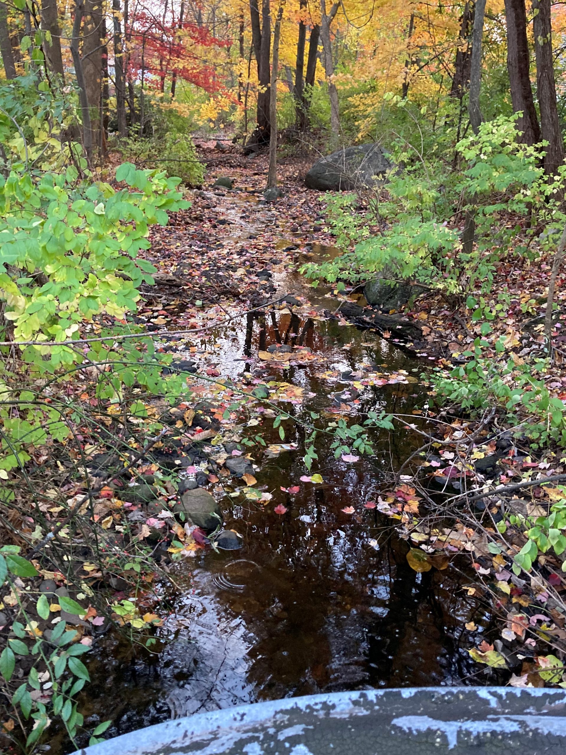
For most of its relatively short run, the Bloody Brook is underground; the brooks natural course was altered and directed into culverts over a century ago. The daylighted section of the brook runs along Queen Ave, crossing Jackson Street and flowing along Bicknell Ave, where it runs through the front yards of nearly a dozen homes before entering a culvert for the rest of its run to the Spicket River. Searles Pond serves as a stormwater catchment for Jackson St/Prospect St section of Methuen. The area includes Methuen High School, the Tenney Grammar School and Holy Family Hospital. The pond is part of the headwaters of the Bloody Brook that runs from the pond into the Spicket River in Lawrence.
Flooding has been a long simmering problem for residents in the area. This flooding is exacerbated by differing culvert sizes in neighboring Lawrence that prevents efficient drainage, as well as the increasing intensity of storm events making the existing culverts and crossings increasingly incapable of handling peak flows. In addition to property damage caused by flooding, residents complain about the presence of wildlife and other animal pests attracted by water flowing through their property.
Searles pond itself presents both challenges and opportunities. The pond handles stormwater flows from surrounding uplands and roadways but has limited capacity to effectively treat runoff. Habitat values in the pond and surrounding uplands are poorly understood and invasive vegetation presents a management challenge. The pond has significant ecological and recreational potential, especially if a meaningful connection can be maintained with the adjacent woodlands around Holy Family Hospital.
Exlpore the watershed virtually to learn more!
The Project
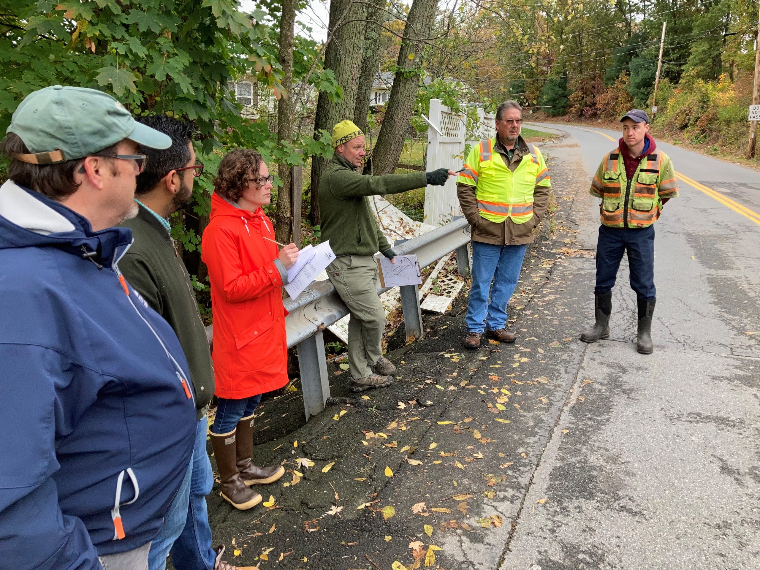
Bloody Brook and the Searles Pond Resilience Plan is primarily a community-focused flood mitigation study, developed collaboratively by the Cities of Methuen and Lawrence, Groundwork Lawrence, the Merrimack River Watershed Council and Pare Corp, with community input. Pare Corp conducted a technical evaluation of the hydrology of the pond and brook, flooding issues and proposed solutions; Groundwork Lawrence surveyed residents along the brook about their experience with flooding and how it impacts their lives and The Merrimack River Watershed Council lead water quality monitoring to investigate bacteria concentrations in the Brook, which have been found to be high in the past.
All this information will help guide the exploration of mitigation options to alleviate flooding and improve water quality. Additionally, the long-term impact of climate change, already being felt throughout the Merrimack Valley, was considered in the development of solutions to ensure they result in more resilient communities. Ultimately, addressing the impacts of flooding and climate change requires effective management of the entire watershed including Searles Pond and presents an opportunity to turn under-used open space into a community asset.
Project Findings
This project has been community-driven. That means the stakeholders in the Bloody Brook/Searles Pond corridor, residents, businesses, schools, churches, have been involved from the beginning and their experiences, concerns, and needs will drive both the research and the solutions that this project creates. Community members were involved through a community survey, water quality monitoring, and public meetings.
Community Survey
Groundwork Lawrence conducted door-to-door canvassing to meet with residents who, literally, live with the Bloody Brook and its impacts every day. Residents were asked to complete surveys to gather important information about flood impacts that helps engineers better understand the brook’s hydrology.
Water Quality Monitoring
High bacteria concentrations have been found in Bloody Brook in the past. As a part of this project, we’re monitoring bacteria and other parameters in Searles Pond and Bloody Brook to better understand how they may put residents at risk during flooding events and how solutions can be implemented to improve conditions. Read the full report about water quality monitoring results, or explore the results yourself by clicking below.
Public Meetings
We conducted several community meetings and workshops for the public to attend. Below are links to view information from those meetings.
-
November 30th 2021 Public Meeting: Introduction and Project Kick off: Watch the recording - April 13th 2022 Public Meeting: Flooding and Water quality issues: Watch the recording
- April 27th 2022 Public Meeting: Potential Solutions: Watch the Recording
There will be no additional meetings or events for this project specifically, but check other projects in the area where we will continue this important work to make our communities more resilient and our rivers and streams healthier!
Proposed Solutions
The culmination of this project resulted in reports providing management options for dealing with flooding, water quality, and climate change. These options include ways to manage Searles Pond and the adjacent upland areas for wider public use while restoring habitat functions along the entire corridor. The proposed projects were guided by community input and the best solutions to resolve the found issues.
Municipal Vulnerability Preparedness (MVP) Program
This project is made possible by the Municiple Vulnerability Preparedness (MVP) Program. The MVP program has awarded over $65 million in funding and technical support to communities across the state. With this year’s awards, 93% of Massachusetts cities and towns, or 328 municipalities, are enrolled. Created in 2017 as part of Governor Baker’s Executive Order 569, the MVP program pairs local leadership and knowledge with a significant investment of resources and funding from the Commonwealth to address ongoing climate change impacts like sea level rise, inland flooding, storms, and extreme temperatures.
